 Now that I've done some clearing of the Scotch Broom from along our
driveway, our newly planted vineyard is
visible from the main highway
(SR-305). This is the intersection at Lovgren Road. (full size image 224k).
Now that I've done some clearing of the Scotch Broom from along our
driveway, our newly planted vineyard is
visible from the main highway
(SR-305). This is the intersection at Lovgren Road. (full size image 224k).
| The house came with an existing vineyard. We don't know it's exact history, but we can state unequivocably that it has been ignored for about 20 years as there are trees growing through of that age. We believe the plants are Muller Thurgau. | |
 |
 |
| Bottom of vineyard, before clearing | Top of vineyard, after some clearing |
|
Another portion of the property was previously a Christmas tree
farm. This was left by the previous owner with a large cleared
area in the middle, just big enough for about 100 grapevines on
7' rows. As you may have read in my earlier Perennial Vintners essays, Beth and I adore the Melon de Bourgogne winegrape. I asked around about getting some plants, and found that Inland Desert Nursery in Prosser, WA had 102 plants they'd love to sell me! |
|||||
 |
 |
 |
 |
 |
 |
| Ellis with the Melon plants right out of the shipping box | Plants stuffed into the ground after arrival until vineyard prepped | Ellis standing in bare area before vineyard | Our neighbor Akio helping pull down a few trees with his tractor | Ellis and I putting in the first plant (Beth taking picture) | All plants in (no posts or deer fence yet) |
 |
 |
 |
 |
| Looking towards our house from old M&E tree farm |
Looking up snow- covered drive to house |
Our Christmas trees, soon to be vineyard |
Further up driveway, closer to house |
 |
 |
| View from deck | Whales on ferry ride and Mt. Rainier |


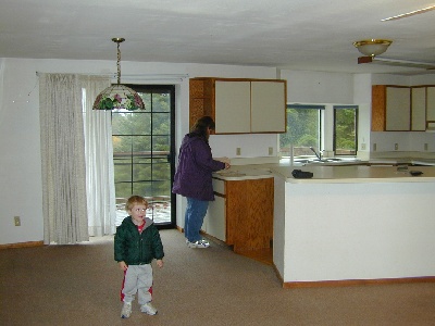
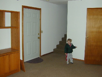
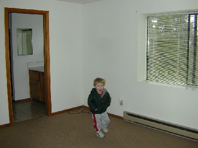
I took some pictures when we went over today to talk to a contractor
about work before we move in. (I also took some outdoor photos, but they're all blank.):


Bainbridge Island Review newspaper article on Trust For Working Landscapes,
(AKA TWL) Sat. 04-Oct-2003:
Pg. 1 (.gif, 1.4Mb)
Pg. 2 (.gif, 1.1Mb)
Pg. 3 (.gif, 354Kb)
entire article (.pdf, 2.4Mb)
Link to Bainbridge
Island Winery homepage
| Island map (.jpg) | Island map, Lovgren/Day highlighted (.jpg) see green oval |
| Island map, Lovgren/Day detail (.jpg) | Driving from Seattle |
| Driving, detail from ferry The lower winery marker on the map is the existing BI winery. It will be moved to Day Road, near our new home in March-04. The upper winer marker is the defunct Rich Passage Winery. | Driving, detail from Lovgren |
| Island map, Lovgren/Day detail with parcel outline (.jpg) green line is driveway, blue is parcel perimeter | |
| Island map, Lovgren/Day detail with parcel outline (.jpg) green line is driveway, blue is parcel perimeter, purple to south is city/ag., pink to north is BI Winery | |
| Parcel map (.gif, 103Kb) Our part is lower trapezoid, including portions labelled "Christmas trees", "raspberries" (twice), "Fir trees", and "Grapes". Grapes are almost lost to young woods, raspberries are gone, lower raspberries is Christmas trees, Christmas trees is more young woods, fir trees is still fir trees, home site is same. | |